What is the Marseille–Cassis course route?
What is the Marseille–Cassis course route?
What is the Marseille–Cassis course route? Profile, the Gineste climb, the descent and traps to avoid: we break down the 20 km between the Vélodrome and Cassis.
What is the Marseille–Cassis course like in figures? 🗺️
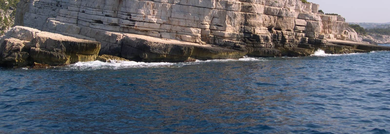
On paper, the Marseille–Cassis can be summed up in one line: 20 km, 340 mD+, a high point at 327 m. On the asphalt, this road running route links two cities while crossing 12 km of the Calanques National Park, between garrigue, limestone and the sea.
The profile looks like a slightly wonky pyramid: ten kilometers to climb, ten to descend. No flat stretch worthy of the name, no loop, no way back: a true city-to-city race, starting on one side of the massif and finishing on the other.
The start is given at 9 a.m. on Boulevard Michelet, at the foot of the Stade Vélodrome 🏟️ . The first few hundred meters follow the avenue to the Mazargues obelisk, then the road rises gently toward the Luminy campus, reached at km 5. There, the city fades away and the Calanques take over.
The climb of the Gineste, the route’s true judge ⛰️
From the Luminy roundabout to the top, the road climbs for about 5 km up to the Col de la Gineste, reached at km 10. The gradient stays steady, with no brutal wall, but it never lets up.
The scenery more than makes up for it: behind you, all of Marseille and the Mediterranean; ahead, the limestone ridges of the massif. At the top, a refreshment station awaits—an opportunity to take a sip and cast an eye over the panorama before tipping over the other side.
On this section, the road opens onto a garrigue landscape where shade is scarce 🥵 . When the mistral shows up, it blows head-on or crosswise and turns every kilometer into a strength session.
A small historical landmark: during the first edition in 1979, 700 participants climbed the Gineste. In the most recent one, there were more than 18,000. The slope, meanwhile, hasn’t moved an inch.
What traps should you avoid on the Marseille–Cassis route? ⚠️
Starting too fast
Waves set off every 5 min, and the Vélodrome euphoria pushes you to go flat out. The first five kilometers already climb slightly: every second gained here is repaid with interest on the Gineste.
The descent, trap #1
The organization itself says it: the descent turns out to be just as difficult as the climb. Ten kilometers of downhill via the Carpiagne camp hammer the quadriceps 🦵 . Shorten your stride, keep your torso slightly forward, and avoid braking on your heels.
The finish that isn’t at the harbor
Many imagine a finale with your feet in the water. Wrong: the finish line is up on the heights of Cassis, Avenue des Albizzi, in the middle of the vineyards, after a passage near the station. Save some energy for these last few hundred meters.
Time limits and aid stations
You have 1h30 to pass the Gineste and 3h for the whole route, counted from the start of the last wave. The aid stations line the route at Luminy (km 5), at the col (km 10), at Bois Joli (km 15) and at the finish 💧 . Full schedule details in our article on the time limits.
The Marseille–Cassis - AG2R La Mondiale holds a World Athletics international silver label, and its course alone explains why this classic among the October races sells out every year.
A 20 km race in the south?
A steady climb, a punishing descent, a perched finish: you now know every bend between the Vélodrome and Cassis. See you on Sunday, October 25, 2026 to tackle it for real—or at the next edition if you missed out on a bib. All the info and offers can be found on the race page, and other routes are waiting for you around Marseille and in Provence-Alpes-Côte d’Azur. The finish line is just waiting for you 🏁 !
This could also be of interest to you


A next-gen platform helping sports enthusiasts of all levels discover territories and heritage through races tailored to them.
Made in France, between Lyon and Nantes